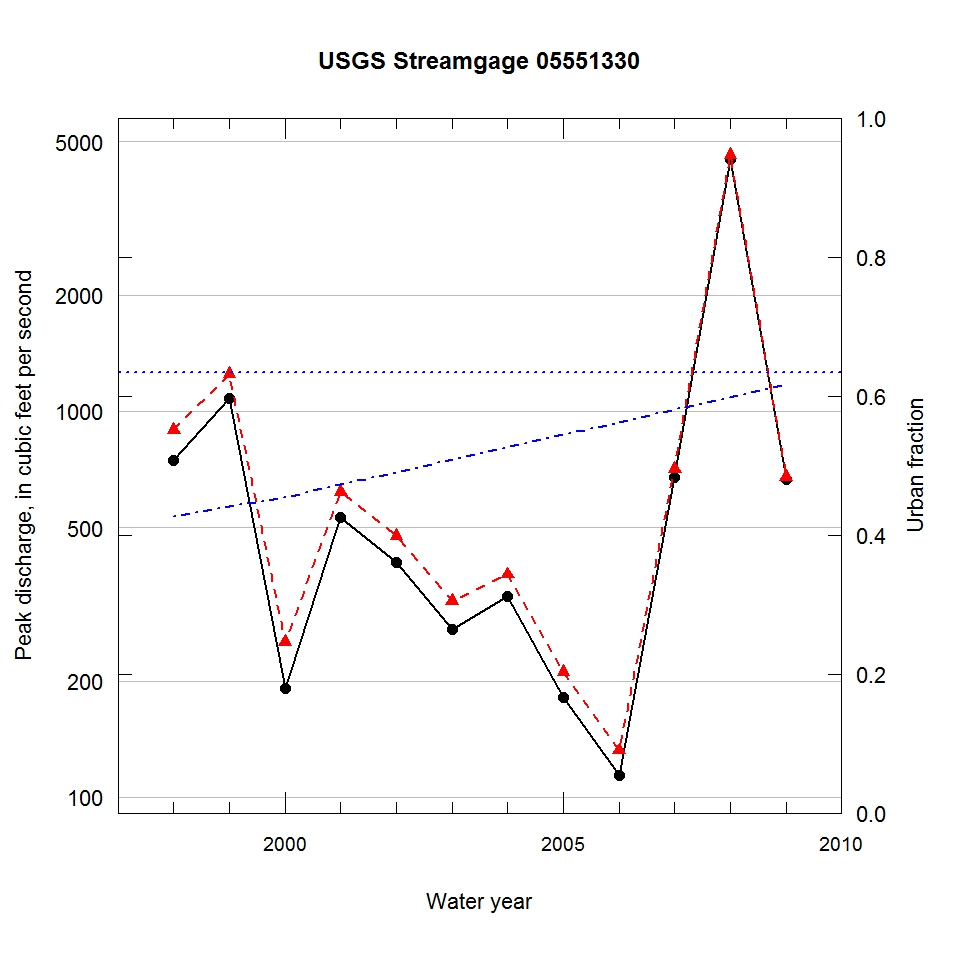
Observed and urbanization-adjusted annual maximum peak discharge and associated urban fraction and precipitation values at USGS streamgage:
05551330 MILL CREEK NEAR BATAVIA, IL


| Water year | Segment | Discharge code | Cumulative reservoir storage (acre-feet) | Urban fraction | Precipitation (inches) | Observed peak discharge (ft3/s) | Adjusted peak discharge (ft3/s) | Exceedance probability |
| 1998 | 1 | CE | 209 | 0.427 | 0.675 | 746 | 896 | 0.076 |
| 1999 | 1 | C | 209 | 0.441 | 1.098 | 1080 | 1250 | 0.024 |
| 2000 | 1 | CE | 209 | 0.455 | 1.502 | 191 | 252 | 0.894 |
| 2001 | 1 | C | 209 | 0.472 | 0.686 | 530 | 619 | 0.250 |
| 2002 | 1 | C | 252 | 0.490 | 1.373 | 406 | 476 | 0.482 |
| 2003 | 1 | C | 252 | 0.508 | 2.331 | 272 | 322 | 0.783 |
| 2004 | 1 | C | 252 | 0.526 | 2.181 | 331 | 378 | 0.679 |
| 2005 | 1 | C | 407 | 0.544 | 0.816 | 181 | 211 | 0.936 |
| 2006 | 1 | CE | 407 | 0.562 | 1.553 | 114 | 132 | 0.983 |
| 2007 | 1 | C | 407 | 0.580 | 3.165 | 676 | 710 | 0.172 |
| 2008 | 1 | C | 407 | 0.598 | 4.117 | 4510 | 4620 | 0.000 |
| 2009 | 1 | C | 407 | 0.616 | 0.749 | 665 | 676 | 0.195 |

